


Unearthing the Lost Meridian of Tiwanaku’s Temple Builders
- By ashley cowie
- 0
The Tiwanaku Empire (300 to 1150 AD) preceded the Inca Empire; and by 400 AD Tiwanaku rose the become the most influential of a number of city states in the region. It was the center for regional religious pilgrimages and llama caravan trade routes. Historian Ashely Cowie takes a closer look at astronomical, geometrical and geographical discoveries at the ancient city of Tiwanaku, which have been derived from the dimensions and location properties of this expansive religious site.
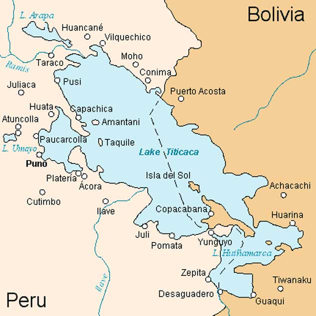
Map of Lake Titicaca with Tiwanaku at the bottom right. (Public Domain)
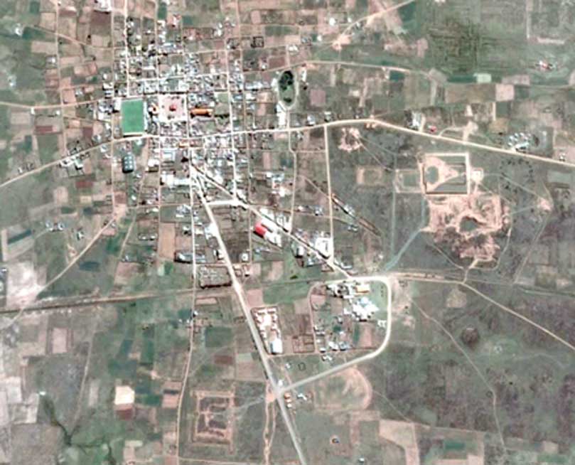
People began permanently settling around Lake Titicaca around 4,000 years ago and by 1500 BC a small agricultural settlement formed about ten miles from the southern (Bolivian) shores of Lake Titicaca. Tiwanaku, was the highest city in the ancient world at an altitude of 12,600 feet (3,850 meters) and would grow to cover an area of around six square miles (10 square kilometers) and the Tiwanaku empire dominated the Collao Andean Plateau between 200 BC to 600 AD and spanned 231,000 square miles (600,000 square kilometers.)
The Tiwanaku farming settlement expanded its streets, conforming to a grid loosely oriented on a north-south and east-west axis and surrounded by a moat on three sides, with Lake Titicaca symbolically representing the fourth. Beyond the sacred moat, blocks of residential mud brick buildings housed farmers who worked on the extensive raised-field irrigation systems, aqueducts, canals and dikes which brought water from Lake Titicaca and the mountain rivers, which were channeled into the city.
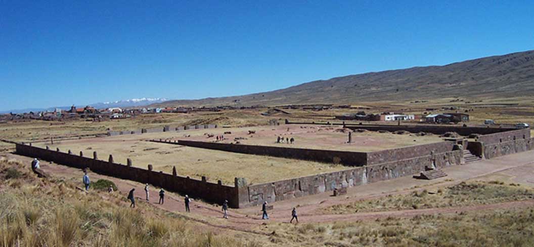
Tiwanaku’s streets form a grid around a central plaza, which was the original farming settlement before urban expansion at the end of the 2nd century. (Image courtesy of the author)
Measuring Tiwanaku’s Ancient Architecture
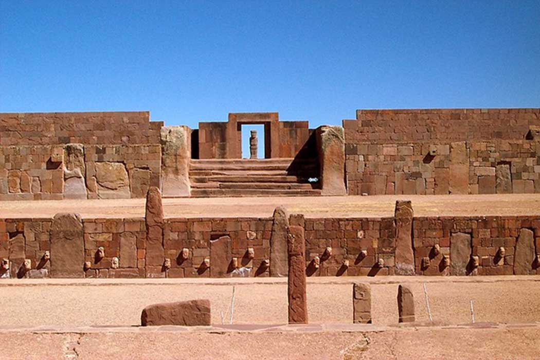
The structures at Tiwanaku correspond to different periods of cultural accessions and in his 2008 book Ancient Tiwanaku Vanderbilt University professor John Wayne Janusek wrote that the earliest structures at Tiwanaku were: “the Sunken Temple and the Kalasasaya platform mound and courtyard which were created between 200 BC to 200 AD.” The Akapana pyramid was raised between 300 AD to 700 AD and the Pumapunku platform mound was built sometime after 536 AD.