

The Ancient Trackways of Britain’s Ley-Lines Steered Bronze Age Tin Miners
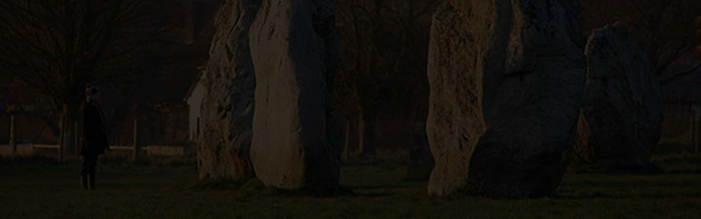
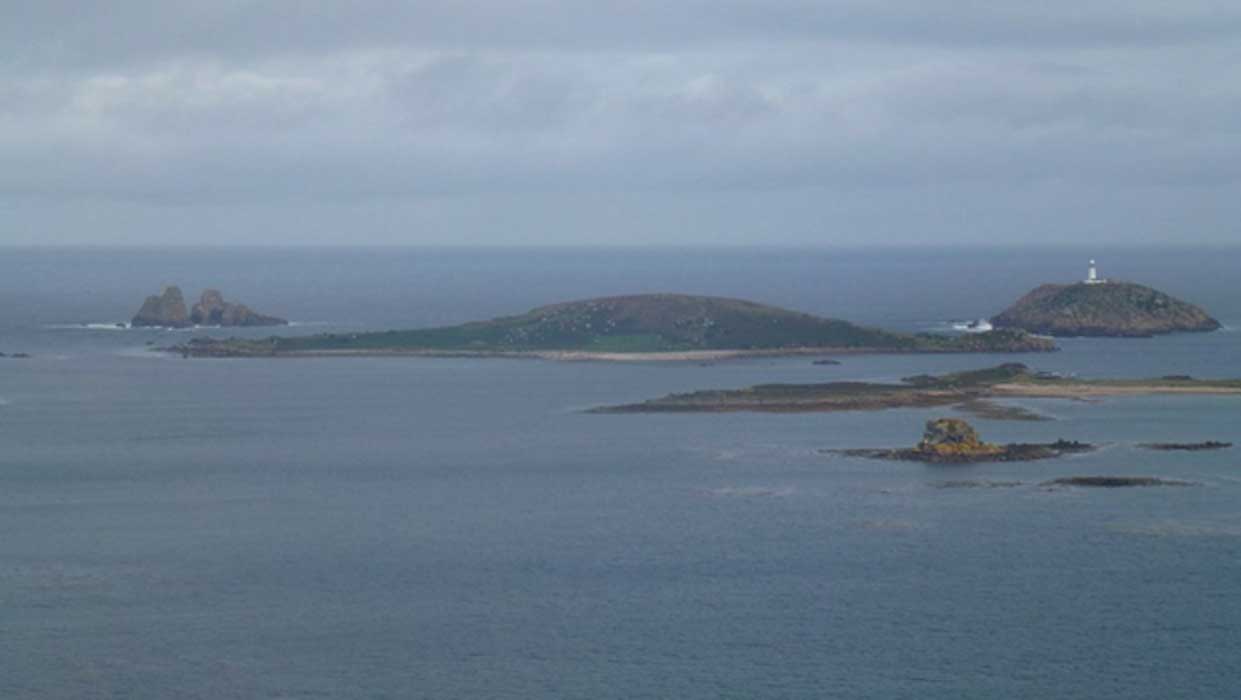
The Great St Michael and St Mary Alignment (or ‘corridor of incidence’) is probably the most famous ley-line in Britain, if not the world. Running for 350-miles across the country in a north-east to south-westerly direction, from the East Anglian coast to Land’s End in Cornwall, it embraces dozens of historical, mystical and archaeological sites, including the Avebury Henge complex, Glastonbury Tor, and St Michael’s Mount. There is even a suggestion it stretches even farther out into the waters of the Atlantic to the lost kingdom of Lyonesse of Celtic and Arthurian legend, of which only the Scilly Isles still remain above the surface today.
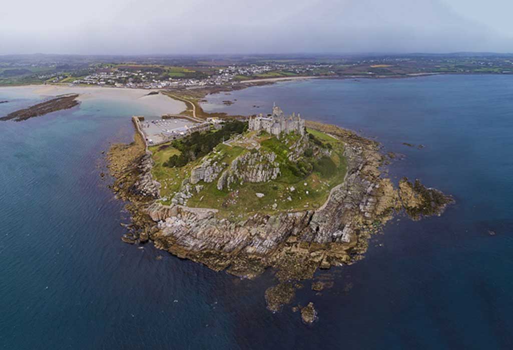
St Michael’s Mount (Chensiyuan / CC BY-SA 4.0)
The St Michael and St Mary Alignment
There are plenty of descriptions of where the ley-line runs – and it is very easy to follow. For example, in the area of East Anglia, there are churches dedicated to the Archangel Michael at Occold, South Elmhall, Broome, Geldeston, Beccles, and Oulton, near Lowestoft. However, when it comes to the Virgin Mary the number is truly enormous, with churches dedicated to St Mary at Diss, Gissing, Pulham St Mary, Brome, Yaxley, Redenhall/Harleston, Denton, Homersfield, Bungay, Ellingham, Gillingham, Aldeby, Haddiscoe, Somerleyton, and, finally, Hopton-on-Sea where not only is there the current parish church of St Mary but also the ruins of Old St Mary’s which burned down in 1865.
While writing a book about the legends of the Waveney Valley, on the Norfolk/Suffolk border, I became more intrigued in not the ‘where’ but the ‘why’ of the St Michael and St Mary Alignment. In other words: of all the places a ley-line could run, why was this particular route so important?
Admittedly, for many people ley-lines are a Marmite concept they either love or hate and which can be explained in one of three profoundly different ways namely: they are historical, mystical, or purely coincidental phenomena. Another way of looking at ley-lines is to see them as occupying the liminal space between legitimate landscape archaeology, the concept of the ritual, (or ceremonial/mythical landscape), and the pseudoscience (or alternative archaeology) of Earth mysteries.
But, any discussion of the route of the Alignment does raise one obvious question: namely why does it abruptly end at Hopton-on-Sea of all places where, arguably, the only significant feature is the Potters holiday camp, home of the World Indoors Bowls Championships?
Doggerland Land-bridge
For an explanation, we need to go a long way back, to a time when Britain was still joined to Continental Europe. The connection was not at the closest point, the Straits of Dover, which has actually been a sea channel between Britain and France for nearly half-a-million years, but a now lost landmass called Doggerland (derived from the Dogger Bank), that sat between East Anglia and what is now the Netherlands, north-west Germany, and Denmark.
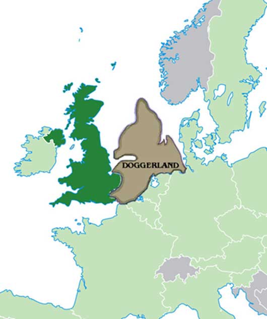
Map of Doggerland (Public Domain)
