


Life Of A First Century AD Rural Nazarene Versus A City Sepphorite
Nazareth was inhabited since the Bronze Age, and pottery dating from 900-600 BC confirms an Iron Age settlement there, but the Assyrian, Babylonian and Persian invasions turned the region into a wasteland. Villages were destroyed and the people exiled. For almost 600 years, lasting from the eighth to the second century BC, the region was depopulated. By 330 BC, during the Hellenistic period, they gradually returned and by the second century BC to the first century AD, Nazareth had grown into a hamlet. The name ‘Nazareth’ can be derived from the Hebrew word for 'branch', and may allude to the Messianic prophesy in Book of Isaiah 11:1 “A shoot will come up from the stump of Jesse; from his roots a Branch will bear fruit”. This toponym might be an example of a tribal name used by resettling groups on their return from exile.
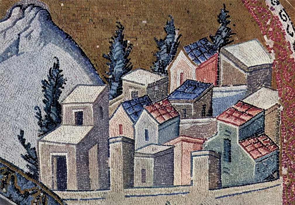
Nazareth as depicted on a Byzantine mosaic in Chora Church, Constantinople. (Public Domain)
Among the limestone hills of lower Galilee, 30 miles (48 kilometers) from the Mediterranean Sea to the west and 15 miles (25 kilometers) from the Sea of Galilee in the east, three miles (five kilometers) from the capital city of Sepphoris, lies the village of Nazareth. West of Nazareth crowns Mount Carmel, east Mount Tabor and further north Mount Hermon, and to the south stretches the Jezreel valley. Jezreel means “El sows” which aptly describes the smallholding agrarian community that had sprung up around Nazareth. Today the town is colloquially called the ‘Arab capital of Israel’. The Arabic name for Nazareth is an-Nāṣira.
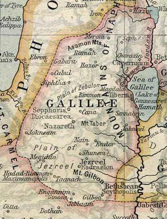
A map of ancient Galilee. The Historical Atlas by William Shepherd (circa 1923) (Public Domain)
Taking into account that graves or tombs were usually designated outside the peripheries of the towns, it can be calculated that first century AD Nazareth spanned about ten acres, with an estimate population of 200 – 1,000 people, depending on who makes the calculations. First century kokhim (rock-cut) tombs in the Nazareth area have been excavated by B. Bagatti, N. Feig and Z. Yavor in the 1950s and 1960s. Bagatti also uncovered silos, cisterns, interconnecting corridors, grottos, basins, winepresses and cellars supporting the theory that Nazareth was an agrarian community.
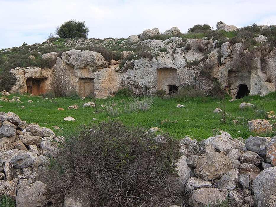
Examples of kokhim (burial shafts) in Israel (Davidbena/ CC BY-SA 4.0)
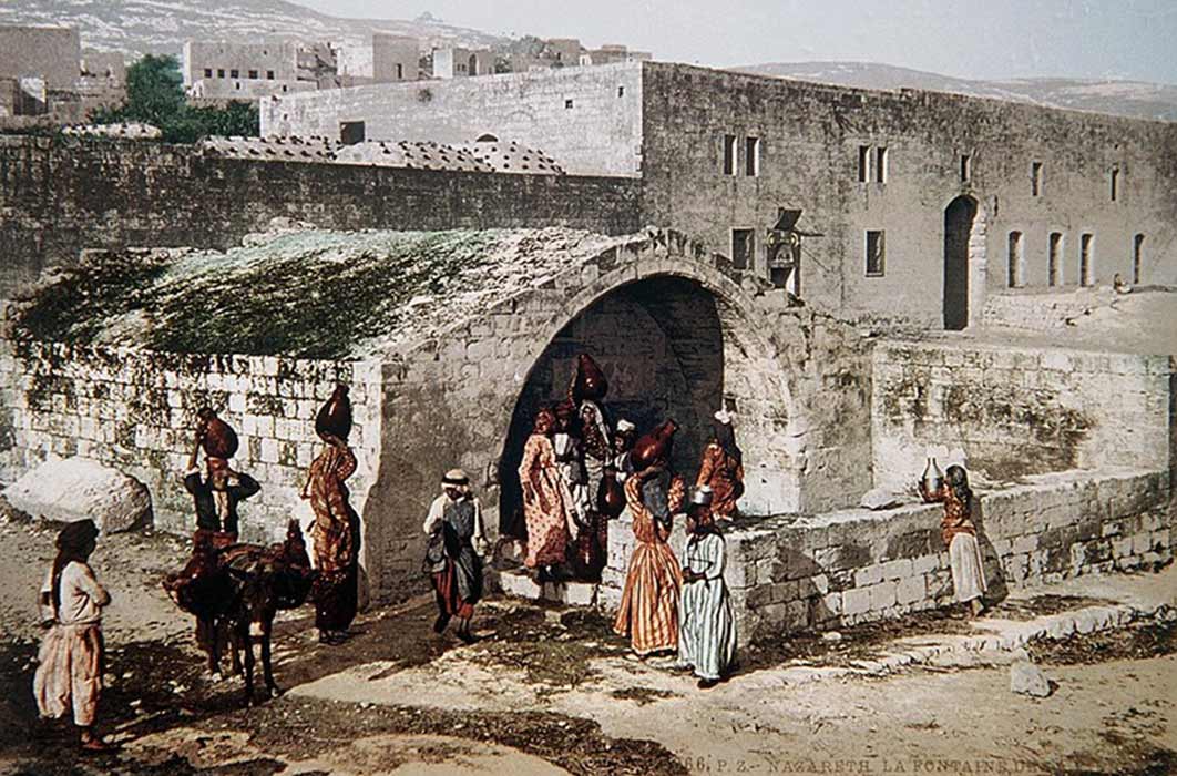
Houses in Nazareth were not attached, and the courtyards were large enough to accommodate a comfortable home industry of poultry, small vegetable gardens and a few fruit trees. Entrance to the property from the street would give access to the central courtyard, where the oven and water cistern were located. Much of the domestic activities, such as preparation of food and weaving took place in the courtyard, benefitting from the hot Mediterranean climate. From the courtyard one can enter the house into the traklin – a large general room, from where the bedroom and storeroom would lead. The storerooms were carved into the soft limestone bedrock. As the family expanded, more rooms or quarters would be added for married children, even a second floor or a street frontal shop.
