Istanbul’s Bosporus Strait, Fragile Hinge Between East And West
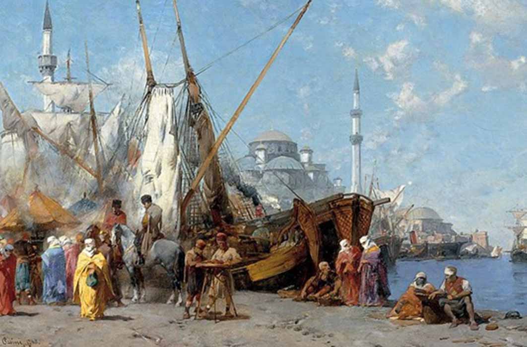
The continents of Europe and Asia shake hands across Istanbul’s Bosporus Strait, connecting the Black Sea to the Sea of Marmara which in turn connects to the Mediterranean Sea through the Dardanelles Strait, and from there ships voyage to the Indian Ocean through the Suez Canal and the Atlantic Ocean through the Strait of Gibraltar. Over millennia, the economic and military significance of the Bosporus has never been underestimated by empires, and in their zeal for control over this 32-kilometer-long (20 miles) maritime waterway, cross-pollination of cultures, ideas, religion, trade and knowledge flow back and forth like the tides on its shores. The Bosporus Strait has witnessed epic maritime history, from ancient boat-bridges, fleets destroyed by Greek fire, the siege of Constantinople, traders from all over the world filling its harbours and markets with spices, silks, slaves and exotic merchandise, up to steamships, ferries, modern tankers, cruise ships and occasional warships negotiating its perilous currents.

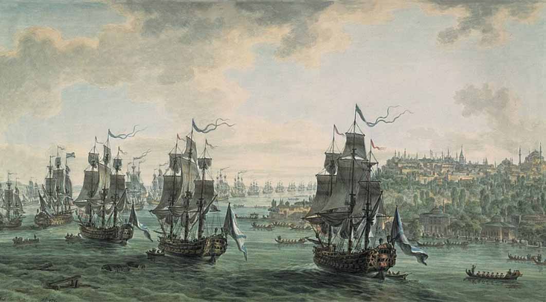
Russian fleet under the command of Admiral Fyodor Ushakov, sailing through the Bosporus by Mikhail Matveevich Ivanov (19th century) (Public Domain)
Black Sea Deluge Hypothesis
Yet there was time when the Black Sea was not a sea, but a fresh-water lake. In 1997 William Ryan and Walter Pitman proposed a theory called the Black Sea Deluge Hypothesis, of which the central tenet is that by the end of the last Ice Age, as the ocean rose 73 meters (238 feet) due to massive ice sheets melting, the landlocked Bosporus was “suddenly” flooded by the seawater, increasing its capacity with 50 percent water, driving people living on the shores from their villages, leaving their footprints and even their sandals behind. In 2011 during the construction of the Marmaray Undersea Tunnel under the Bosporus, archaeologists discovered around 1,500 footprints in the mud, dating to 6500 - 6000 BC. The first human settlement on the Asian side at Fikir Tepe, delivered artifacts dating from 5500 to 3500 BC. On the European side, at the peninsula of Sarayburnu (Seraglio Point), they uncovered a Thracian settlement dating much later to the early first millennium BC. Besides the artifacts from the Neolithic Age, archaeologists also discovered 37 shipwrecks, wooden tombs containing human remains, leather and wooden sandals, wooden cups, amphorae containing fruit and nuts, and tens of thousands of other relics from the Byzantine and Ottoman eras – millennia of history sealed in the mud of the Bosporus.

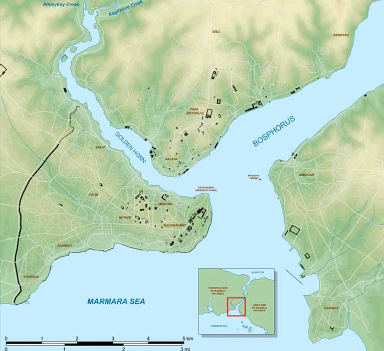
Map of Istanbul's Historic Peninsula encaptured by the Theodosian Walls, showing the location of the Golden Horn and Sarayburnu (Seraglio Point) in relation to Bosporus Strait and the Sea of Marmara (CC BY-SA 3.0)
The Early Greek Settlements
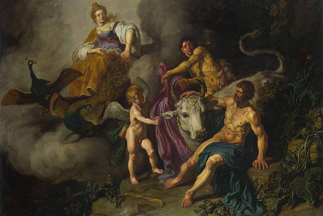
The etymology of the name ‘Bosporus’ springs from the Greek words boûs and poros meaning ‘cattle-passage’, referring to the Greek mythological tale of Io, a princess from the Argolis, daughter of Inachus, first king of Argos and the Oceanid nymph Melia. Io was a priestess of Hera, wife of Zeus, until Zeus fell in love with Io and turned her into a white heifer, to hide her from Hera. The ruse was unsuccessful and Hera sent a gadfly to sting Io, having her wander all over Europe, until she could cross the Propontis (or Sea of Marmara) to the Black Sea, giving rise to the name of “cattle crossing” or ‘Bosporus’.

Hera discovering Zeus with Io by Pieter Lastman (1618) (Public Domain)
By the mid seventh century BC, colonists from Megara in Greece, had settled on both coasts of the Bosporus. The settlers established Chalcedon – referred to as the “City of the Blind” on the Asian coast. Mythology tells that Io, impregnated by Zeus, gave birth to the nymph Ceroessa, who was in turn impregnated by Poseidon, and gave birth to Byzas, the first king of Byzantion, on the western coast. Byzas was also the son of mortal King Nisos of Megara. From the beginning Byzantion on the European coast had an advantage over Chalcedon on the Asian coast, as Byzantion had a stronger command over the entrance to the Propontis and the Black Sea, as it was located at the horn formed by the estuary of the Golden Horn – the Chalcedonians were regarded as “blind” for not seeing the advantage.


